High Adventure: Accounts and photographs of walks, climbs and overland travels around the world

Worldwide Mountaineering :: Adventure Travel :: Site Index


Walking Scotland End to End: The Southern Upland Way


Southern Upland Way Southern Uplands Way Southern Uplands WaySouthern Upland Way   Dumfries & Galloway - 25 Walks Scottish Borders - 25 WalksSt.Cuthbert's Way - Official Guide  Walking the Southern Upland Way Across Scotland on Foot  

Ochils and Campsie Fells  The Pentland Hills  The Border Country  Galloway Hills


Route Map: Scotland End to End Route Map


Itinerary: Place to Place routes


Photographs: ( Thumbnail Gallery Thumbnail Gallery )
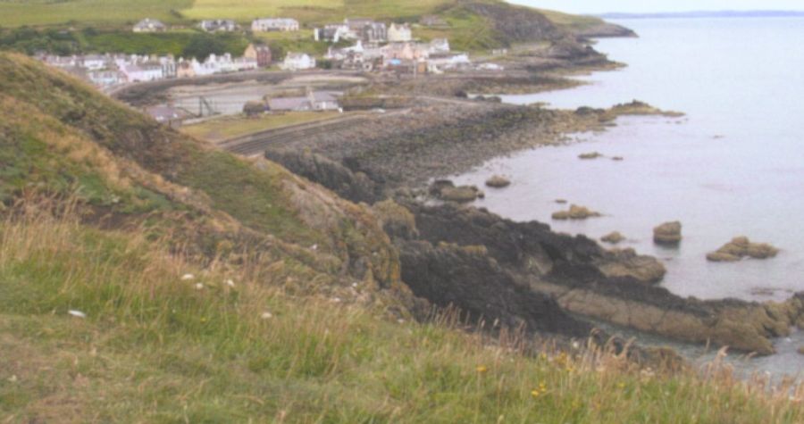
Portpatrick

Portpatrick

Portpatrick is a village amid steep cliffs

 on the extreme south-westerly tip of mainland Scotland.

Built next to the ruins of  Dunskey Castle,

the position of Portpatrick on the Rhins of Galloway 

offers views of the Northern Irish coast

from clifftop walks and beaches.  

The Gulf Stream gives a pleasant climate

enabling subtropical plantlife to flourish.

Originally a fishing village

the harbour remains the focal point of the village.


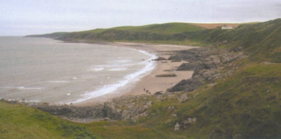
Knock Bay

                                                     Knock Bay


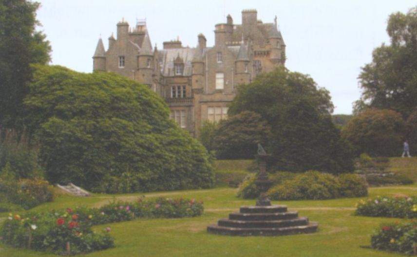
Castle Kennedy

                                                               Castle Kennedy


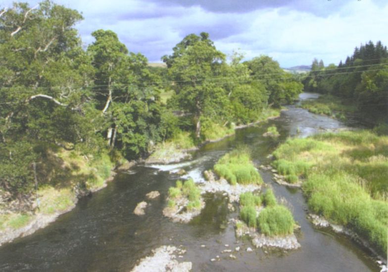
River Tweed

                                                          River Tweed

The Tweed is one of the great

salmon rivers of Great Britain.


Ruined Cottage at Cogshead from Southern Upland Way from Sanquar to Wanlockhead

   Ruined Cottage at Cogshead

 from Southern Upland Way

 from Sanquar to Wanlockhead


Wanlockhead from Stood Hill

                                                   Wanlockhead from Stood Hill


Devil's Beef Tub

                                                                   Devil's Beef Tub

The Devil's Beef Tub is a dramatic hollow

 in the hills north of  
Moffat.

The name derives from its use

by the Border Reivers

 to hide stolen cattle.


The 500ft ( 150m ) deep hollow

 is formed by four hills:-

Great Hill, Peat Knowe,

Annanhead Hill, and Ericstane Hill.

It is one of the two main sources

of the River Annan.  


Devil's Beef Tub

                                                                   Devil's Beef Tub


The Town of Moffat in the Borders Region of Southern Scotland

The Town of Moffat


The Grey Mare's Tail Waterfall on ascent to White Coomb

The "Grey Mare's Tail" Waterfall

 beneath White Coomb

near 
Moffat

Grey Mare's Tail is a 60 metre ( 200ft )

 
hanging-valley waterfall.


Great Hill

                                                                Great Hill
( 1527ft, 465m )


Loch Trool in the Galloway Hills

Loch Trool

 in the 
Galloway Hills


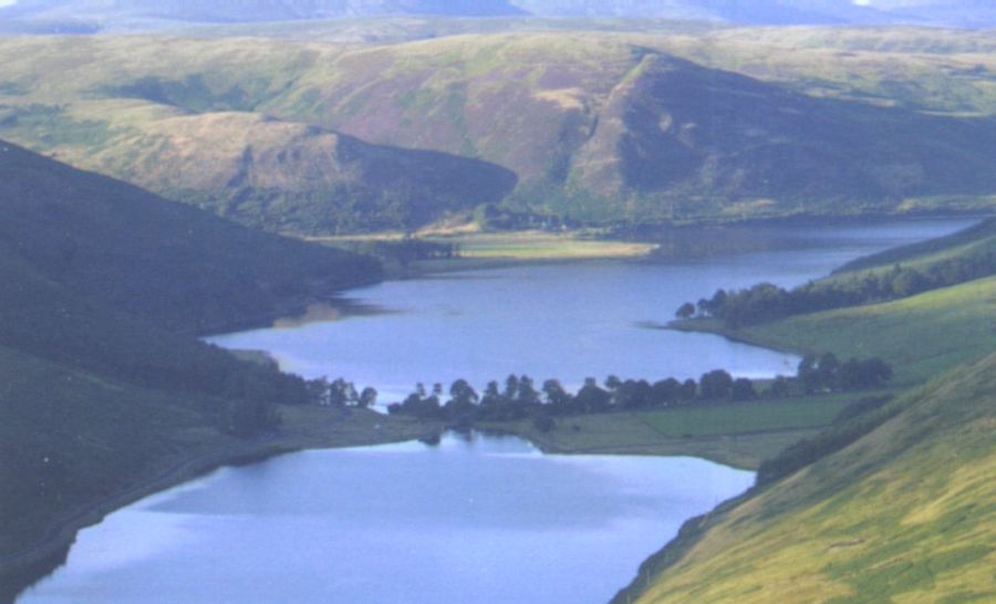
St.Mary's Loch

                                                                           St. Mary's Loch

St Mary's Loch is the largest natural loch

 in the Borders Region of Scotland.


It lies some 72km ( 45 miles )

 south of Edinburgh

between 
Selkirk and Moffat

 in the valley of the Yarrow Water.


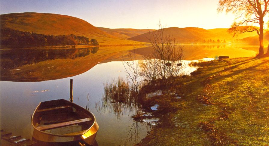
St.Mary's Loch

                                                               St. Mary's Loch


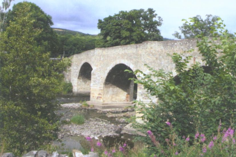
Yair Bridge

                                                           Yair Bridge


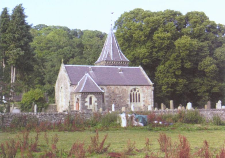
Abbey Church at Abbey St.Bathans

                                                        Abbey Church

at Abbey St.Bathans


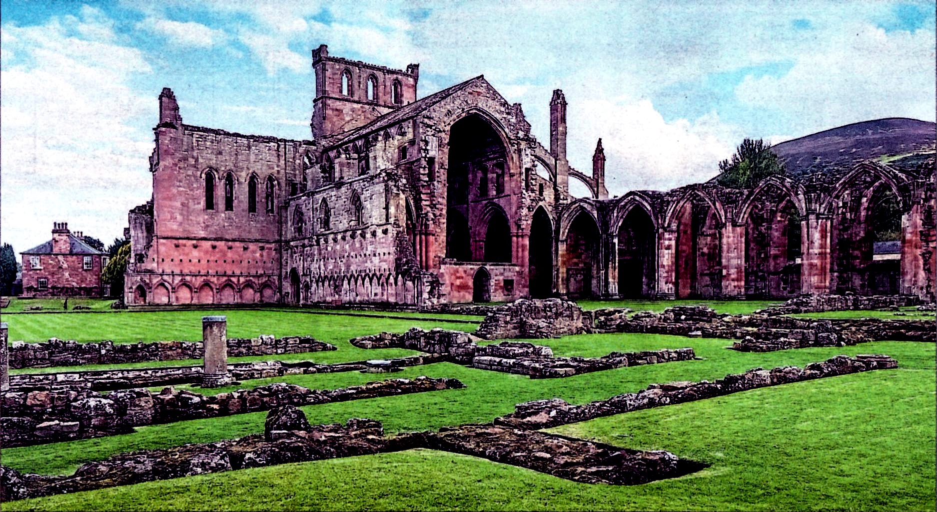
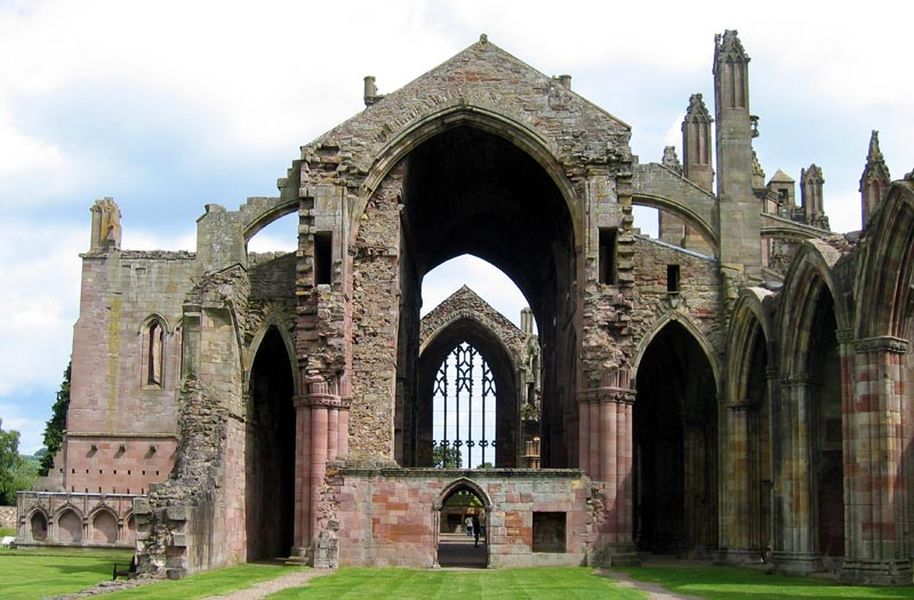
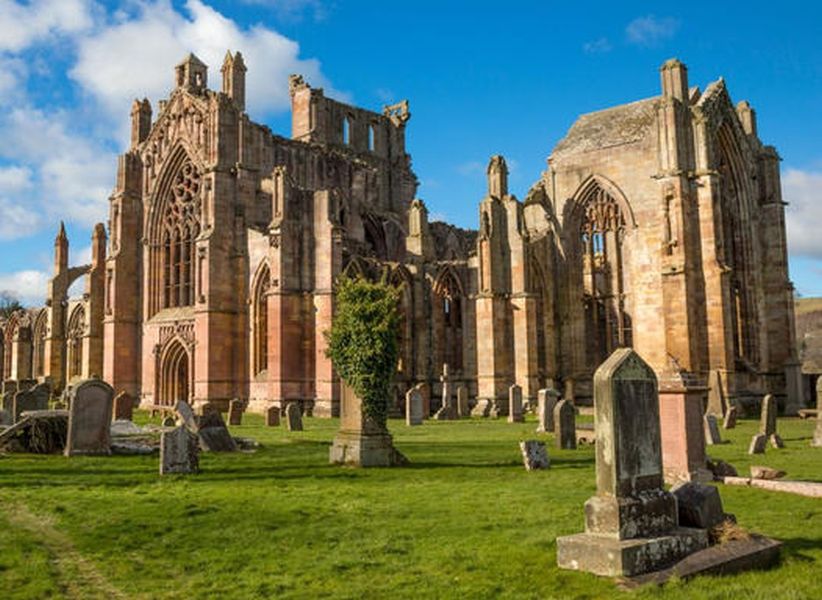
Melrose Abbey

                                                    Melrose Abbey


Melrose Abbey

                                                                Melrose Abbey


Melrose Abbey

                                                          Melrose Abbey


Melrose Abbey

                                                           Melrose Abbey


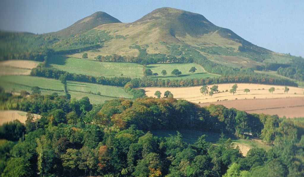
Eildon Hills - Scott's View

                                                                Eildon Hills - Scott's View


Approach to Lauder

                                            Approach to Lauder


Tolbooth in Lauder

Tolbooth in Lauder


Cove Harbour

                                                                        Cove Harbour near Cockburnspath

Cockburnspath is a village

near the North Sea coast

 between 
Berwick-upon-Tweed

and 
Edinburgh.

It is at the eastern extremity

 of the Southern Upland Way.


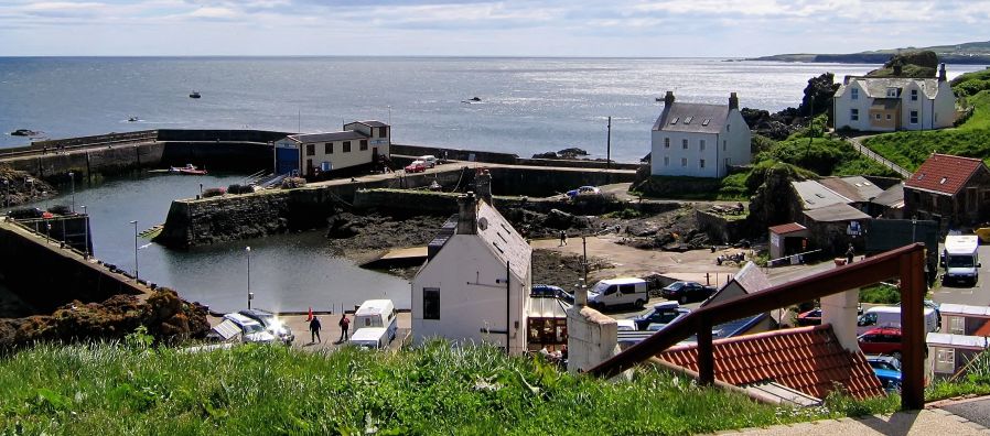
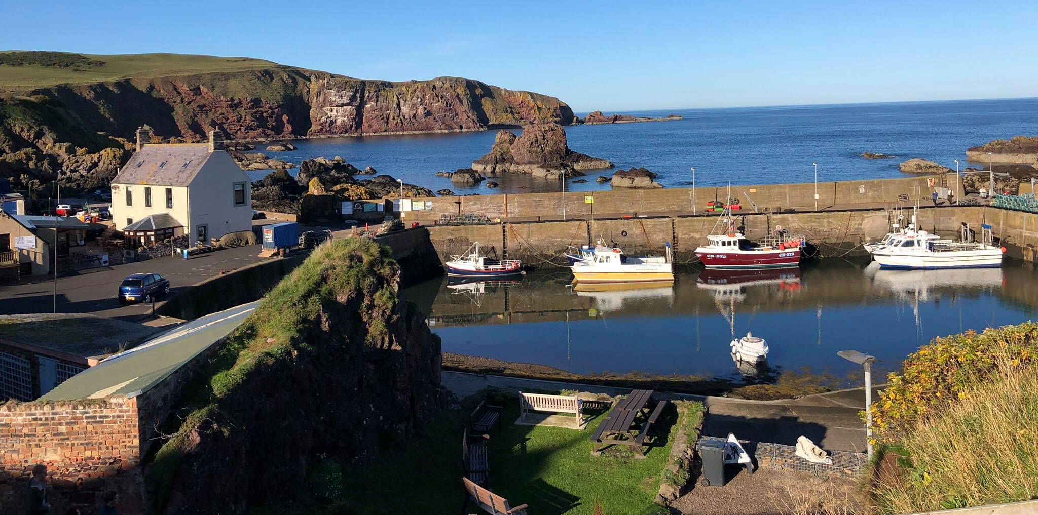
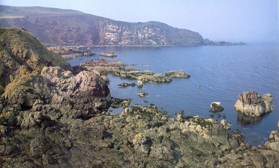
St. Abbs fishing village on the coast of Berwickshire

                                                                                            Harbour at St. Abbs

St. Abbs is a small fishing village

 on the southeast coast of Berwickshire in Scotland.

The village was originally known as Coldingham Shore

but the name was changed to St. Abbs. 

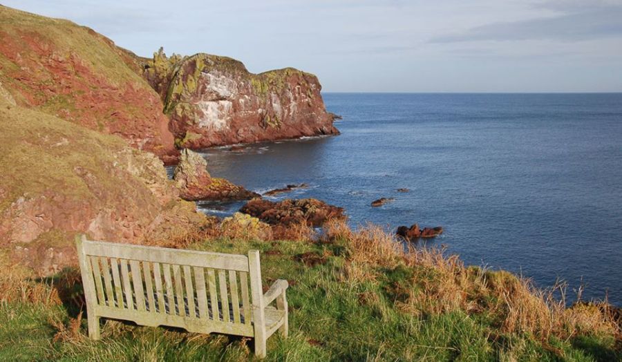
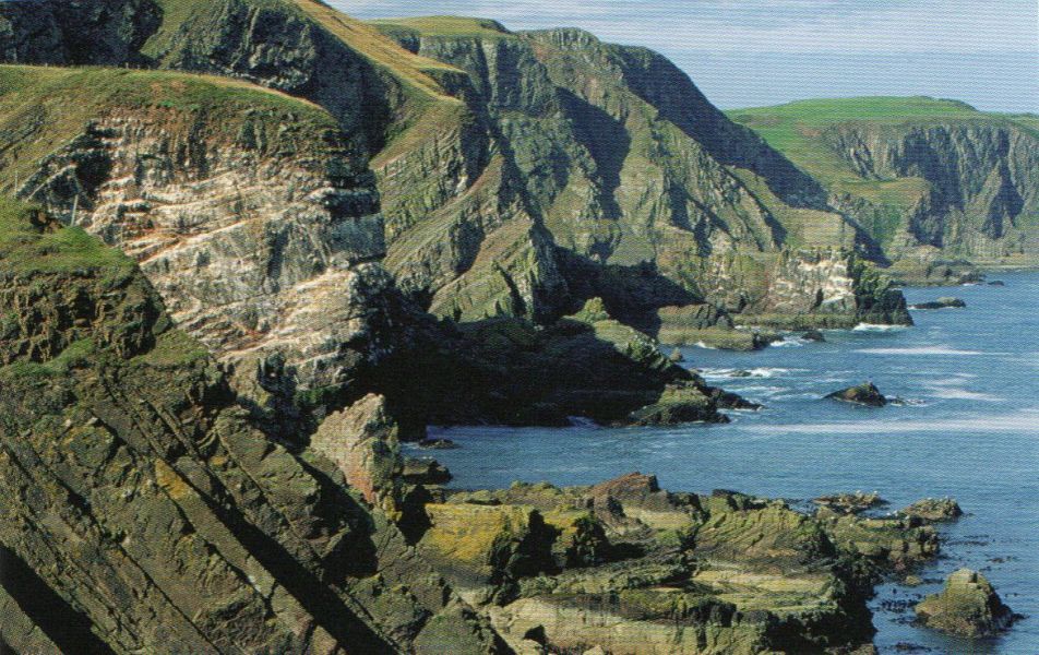
The new name derived from St Abb's Head

- a rocky promontory ( named after St. Aebbe )

 north of the village.


St. Abbs fishing village on the coast of Berwickshire

                                                                St. Abbs fishing village

 on the coast of Berwickshire


St. Abbs fishing village on the coast of Berwickshire

                                                                      St. Abbs fishing village

on the coast of Berwickshire


St. Abbs Head on the coast of Berwickshire

                                                                         St. Abbs Head

 on the coast of Berwickshire


St. Abbs Head on the coast of Berwickshire

                                                                         St. Abbs Head

 on the coast of Berwickshire


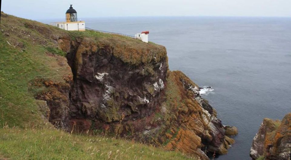
Lighthouse at St. Abbs Head on the coast of Berwickshire

                                                                         Lighthouse at St. Abbs Head

 on the coast of Berwickshire


Lighthouse at St. Abbs Head on the coast of Berwickshire

                                                                         Lighthouse at St. Abbs Head

 on the coast of Berwickshire


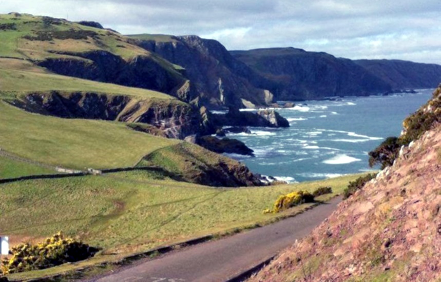
St. Abbs Head on the coast of Berwickshire

                                                                         St. Abbs Head

 on the coast of Berwickshire


St. Abbs Head on the coast of Berwickshire

                                                                         St. Abbs Head

on the coast of Berwickshire

Scotland Walks


Scotland Index : Scottish Peaks

Ben Nevis | Glencoe | Knoydart | Isle of Skye | Isle of Arran | The West Highland Way

The Eastern Highlands | The Central Highlands | The Southern Highlands | The NW Highlands


Worldwide Mountaineering : Adventure Travel : Site Index

fb icon  google+ icon Linkedin icon  twitter


References:-


Climbing & Outdoors Gear:-


Scotland Walks :: West Highland Way


Scotland Index :: Scottish Peaks

Southern Highlands :: Central Highlands :: NW Highlands :: Eastern Highlands

Skye :: Arran :: Glencoe :: Ben Nevis :: Knoydart


Site IndexWorldwide MountaineeringAdventure Travel


fb icon  google+ icon Linkedin icon  twitter


Maps:-


Western Scotland & the Western Isles OS Road Map Northern Scotland OS Road MapSouthern Scotland OS Road MapTorridon Map Kintail, Glen Shiel - Map Arrochar Alps - Map Glasgow Popular Hills - Map Ben Nevis Map West Highland Way - Map

Glen Shiel & Loch Hourn - OS Landranger Map An Teallach & Slioch - OS Explorer Map Creag Meagaidh & Loch Laggan - OS Explorer Map Gairloch, Ullapool & Loch Maree OS Map Ben Nevis & Glencoe OS Landranger Map The Munros Map


Travel & Guide Books:-


Southern Upland Way Southern Uplands Way Southern Uplands WaySouthern Upland Way Ochils and Campsie Fells  The Pentland Hills  The Border Country  Galloway Hills

Walking Through Scotland - From the Border to Cape Wrath Dumfries & Galloway - 25 Walks Scottish Borders - 25 WalksSt.Cuthbert's Way - Official Guide  Walking the Southern Upland Way Across Scotland on Foot  Walking Through Scotland - From the Border to Cape Wrath North to the Cape - Fort William to Cape Wrath

West Highland Way: Official GuideWest Highland Way: Rucksac Readers West Highland Way: TrailblazerThe West Highland WayWest Highland Way: Footprint MapWest Highland Way - Map West Highland Way - Map West Highland Way Wet Highland Way - Official Guide

Scotland - Lonely PlanetScotland's Highlands & Islands - Lonley Planet Scotland's Highlands & Islands - Rough Guide Highlands & Islands of Scotland - Hidden Places Rough Guide ScotlandScottish Highlands & Islands - Rough Guide Rough Guide: Scotland Lonely Planet, Walking in Scotland100 Hillwalks around Glasgow

50 Walks in Glasgow & SW Scotland 50 Walks in the Scottish Highlands & Islands 50 Walks in Edinburgh & Eastern Scotland 100 Walks in ScotlandVisit Scotland - Touring Guide Scotland: Where to Stay - Hotels & Guest Houses Scotland: Where to Stay - Bed & Breakfast Hillwalker: The MunrosHillwalker: The Corbetts

The Munros: Scottish Mountaineering Club The Munros and Tops The Corbetts - SMC Call of the Corbetts Munros & Corbetts Chart The High Mountains of Britain and Ireland Magic of the Munros The Munros - Scotland's highest mountains

Munro Almanac The Munros: Scottish Mountaineering Club Hamish's Mountain WalkThe Munros in WinterMy Scotland by Hamish MacInnes 50 More Routes on Scottish Mountains Scottish Mountains - 50 Classic Routes

The High Mountains of Britain and Ireland Scotlands 100 Best Walks Scottish Mountains - 100 Best RoutesBig Walks of Great Britain Classic Walks in Britain & IrelandScottish Hill & Mountain NamesClassic Mountain Scrambles in Scotland Classic Climbs - Central & Southern Highlands Scotland's Far North

Mountaineering in Scotland and Undiscovered Scotland by W.H.MurrayMore Wilderness Walks Wilderness Walks Wilderness Walks 2 - Video Pathfinder Guide: Skye and NW Highlands WalksPathfinder Guide: Fort William and Glen Coe Walks Rambler's Guide: Ben Nevis and Glen Coe

Torridon: A Walkers Guide Scottish Hill Tracks100 Best Routes on Scottish Mountains Landscapes of the Scottish Highlands & the Isle of Skye The Glens of Rannoch Glens of Trossach Scottish Glens: The Atholl GlensNorth to the Cape - Fort William to Cape Wrath

  Southern Highlands - MapNorthern Highlands Central Highlands West Highlands The Islands Central Highlands SMC NW Highlands SMC Central Highlands: Six Long Distance Walks Exploring Scottish Hill Tracks

Mountain Days & Bothy Nights Northern Highlands, Volume 1 - SMC Northern Highlands, Volume 2 - SMC Winter Climbs: Ben Nevis and Glencoe Loch Lomond & Trossachs WalksThe Grahams - Scotland's 2000ft Peaks The Book of the BivvyMountain Travellers Handbook

Geology & Landscapes of Scotland The Highland Geology Trail Weather for Hillwakers & Climbers Mountain Weather Guide to the Weather Weather: Collins Gem Hillwalking Handbook for Mountain Leaders Hillwalkers Manual Hillwalkers Guide to Mountaineering

First Aid on MountainsWalking the Munros Vol 2: Northern Highlands & CairngormsWalking the Munros Vol 1: Southern, Central & Western Highlands Scotland Travel Guide Lonely Planet Walking Through Scotland - From the Border to Cape Wrath Discovering Scotland - Atlas & Guide Britain's Best WalksBest Routes on Britain's Mountains

200 Challenging Walks in Britain & Ireland Scotland - The Wild Places - Colin Prior The Munro Show 1 & 2 - Muriel GrayFrontiers: The World's Best Hikes Great British Ridge Walks Torridon - Life & Wildlife in the Scottish Highlands

GPS for Dummies Wilderness NavigationNavigation for Walkers


Keep right on to the end of the road


Keep right on to the end of the road

Google Analytics


Google Analytics

extremetracking
 eXTReMe Tracker


extremetracking
Sitelock caingram.com
SiteLock
Sitelock
Sitelock caingram.info
SiteLock
Sitelock